Call Us Now! (530) 581-2599
Services
Webb Land Surveying Services
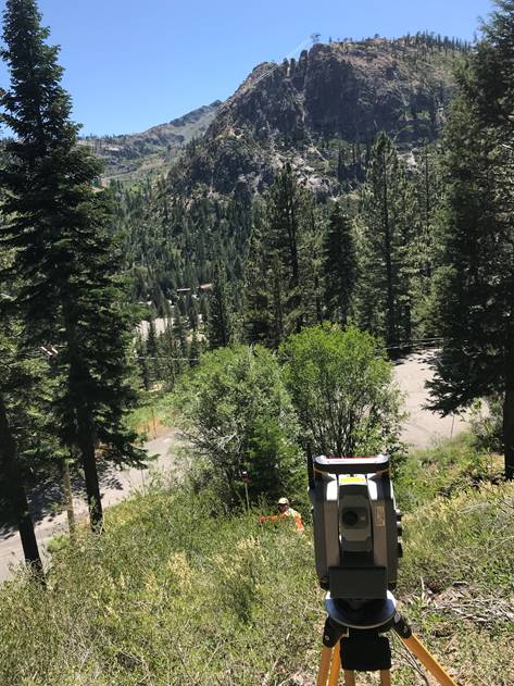
WLS offers a variety of professional land surveying services. Depending on the nature of your project we might be able to assist you with one or more of the following services:
Topographic Mapping
Topographic mapping is our specialty at WLS. We've been completing more topo maps
than any other survey company in Tahoe/Truckee
for years and years. We have an efficient system
and a highly experienced team
that allows us to deliver topo maps, site plans, and TRPA
coverage maps faster than anybody else in the area. If you have a project that requires a coverage survey or site plan, WLS
is definitely the best choice.
Boundary Surveys
The most important tool in resolving boundary surveys is local experience. That's exactly what we have at WLS. Our small team of 4 has over 50 years of experience surveying in the Tahoe Truckee area. Since we've already worked in virtually every neighborhood in Tahoe/Truckee, we're one step ahead of the competition in completing your boundary survey and establishing your property corners. Let us put or local experience and knowledge to work for you. We'll find your property corners if they exist. If they don't we'll put them in the ground so your project can move forward with professional confidence.
Construction Staking
There are two reasons why WLS is the best choice for any of your construction staking needs. We offer quick and flexible scheduling and we've been working with all the local architects, engineers, contractors, and construction companies for years. We'll get our crew out there fast, provide your engineers and contractors with everything they need, and help your project move through the planning process to make building in Tahoe/Truckee as easy as possible.
Bathymetric Surveys
WLS offers a wide variety of bathymetric surveying services. If your property or project is located on Lake Tahoe or Donner Lake, we're definitely the right company for the job. Our bathymetric services include shoreline and underwater mapping as well as buoy location for both pier design and/or TRPA compliance.
Browse Our Website
Contact Information
Phone: (530) 581-2599
Email:
matt@webblandsurveying.com
Address: Tahoe City, CA, United States
Address: Tahoe City, CA, United States
Location
Content, including images, displayed on this website is protected by copyright laws. Downloading, republication, retransmission or reproduction of content on this website is strictly prohibited. Terms of Use
| Privacy Policy
